Arnad Arnad-Tête la cou
Walk from Arnad to Tête la Cou This easy trek follows a military road and a mule track of naturalistic interest. The following route combines places of historical and scenic interest such as the Machaby sanctuary, dating back to the 15th century or, the Tête de Cou from which we can admire a magnificent view of the main valley and the entrance to the Champorcher valley. In addition, along the way we encounter the remains of some mighty defensive structures dating back to the 19th century.
How to get to Tête de la Cou Once you leave your car in the lay-by at Moulin de Va at the end of the paved road coming from Arnad and running alongside the Va stream, you have to follow trail marker No. 4 and climb up along the wide paved mule track that leads to Machaby. Next, we continue, crossing a stream above a wooden bridge, and enter the chestnut forest. We continue for a few minutes until we reach the Machaby Sanctuary (691 m).
We now continue along the small road and in a few minutes we reach the place called “Pradouegne” (farmhouse “Lo Dzerby”) and then continue to the remains of Lieutenant Lucini’s fortification (717 m), which has become a hostel.
Shortly after, we meet the junction to descend toward Bard; you have to go left along the military road toward the remains of the “Machaby Battery” (843 m). We continue along the paved mule track, encountering a couple more renovated cottages. After a few hairpin bends we arrive at the fork (899 m) for the Lomasti Pillar.
This detour should not be considered, but we must proceed further into the forest where we ascend along the mule track and a newly arranged small road .
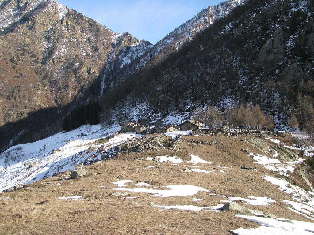
We finally reach the houses of La Cou (1379 m).
This easy trek follows a military road and a mule track of naturalistic interest.
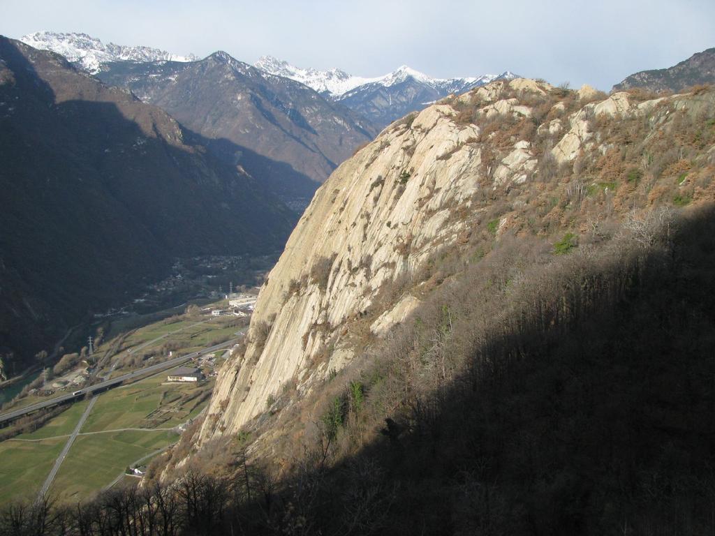
The following route combines places of historical and scenic interest such as. the shrine of Machaby, dating back to the 15th century or, the Tête de Cou from which we can admire a magnificent view of the main valley and the entrance to the valley of Champorcher.
Inoltre, lungo il percorso si incontrano i resti di alcune possenti strutture difensive risalenti al XIX secolo.
How to get to Tête de la Cou
Once you leave your car in the lay-by at Moulin de Va at the end of the paved road coming from Arnad and running alongside the Va stream, you need to follow trail marker No. 4 and climb up the wide paved mule track that leads to Machaby.
Afterwards, we continue, crossing a stream above a wooden bridge, and enter the chestnut forest.
We continue for a few minutes until we reach the Shrine of Machaby (691 m).
We now continue along the small road and in a few minutes we reach the place called “Pradouegne” (farmhouse “Lo Dzerby”) and then continue to the remains of Lieutenant Lucini’s fortification (717 m), which has become a hostel.
Shortly after, we meet the junction to descend to Bard; you have to go left along the military road toward the remains of the “Machaby Battery” (843 m).
We continue along the paved mule track, encountering a couple more renovated cottages.
After a few hairpin bends we arrive at the fork (899 m) for the Lomasti Pillar.
This detour should not be considered, but we must proceed further into the forest where we ascend along the mule track and a newly arranged small road .
We finally reach the houses of La Cou (1379 m).
At the height of a renovated house we turn right and follow a path by which we finally reach the Tête de Cou (1410 ), where we can enjoy a magnificent panoramic view.
It is recommended to return by taking the same route as the outward journey..


