Champorcher Champorcher Valley
The Royal Valley
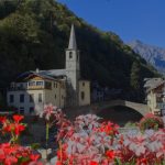
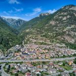
The Champorcher Valley is the first valley on the left as you enter the Aosta Valley from Piedmont, on the orographic right of the Dora Baltea.
Crossing the Dora Baltea, one arrives in the municipality of Hône, and from there one begins to ascend the Valley, meeting the municipality of Pontboset and finally the municipality of Champorcher at 1,427 m above sea level. The natural wonders of the Champorcher Valley All along the Champorcher Valley runs the Ayasse stream, which rises from Lake Miserin at an elevation of 2,580 m.
The force of this alpine stream, carving through the rock, creates deep gorges and spectacular waterfalls.
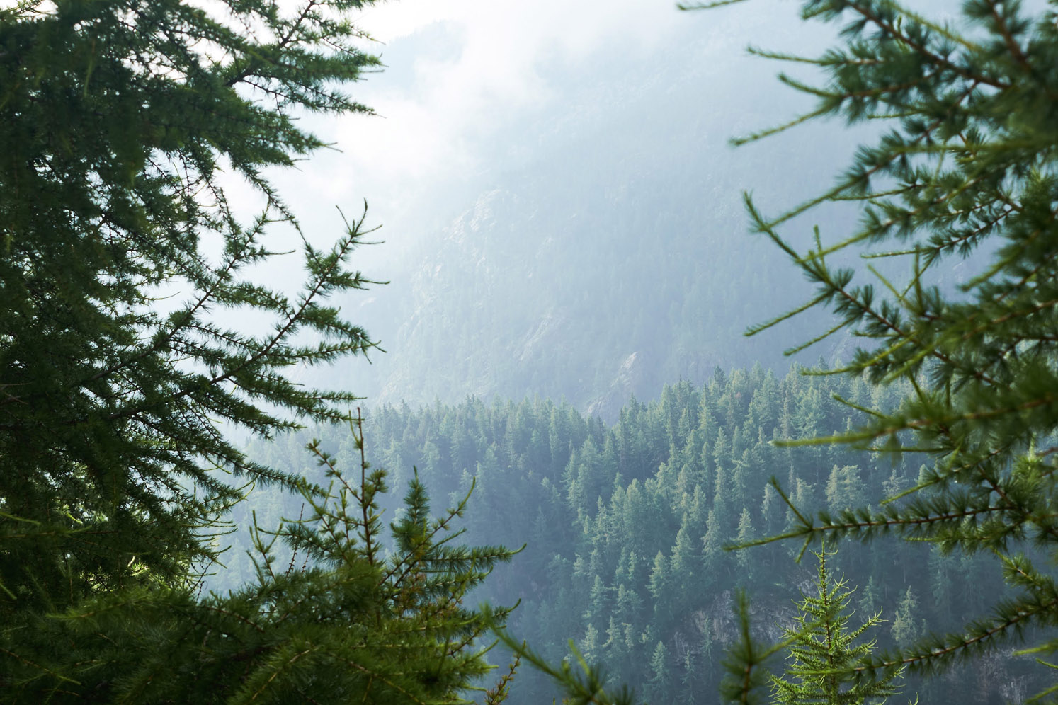
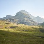
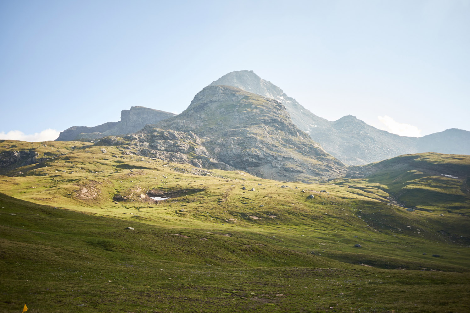
Numerous hiking trails depart from the municipality of Champorcher, taking visitors to the lakes, hills and forests of the Mont Avic Natural Park, of which the municipality is a part.
In the park we can admire the largest forest of hooked pines in the Aosta Valley as well as even rare specimens of alpine flora and fauna.
From this valley also starts the Alta Via della Valle d’Aosta no.
2 also called the Alta Via Naturalistica because it crosses not only the Mont Avic Natural Park but also the Gran Paradiso National Park until it reaches Courmayeur.
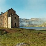
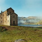
Victor Emmanuel II’s “royal road” in the Champorcher Valley In the first section, the wonderful Dondena basin is accessed via the road called the “royal road,” so named because it was built by King Victor Emmanuel II of Savoy.
The King favored this area for his hunting trips so much that he turned it into his personal royal reserve.

