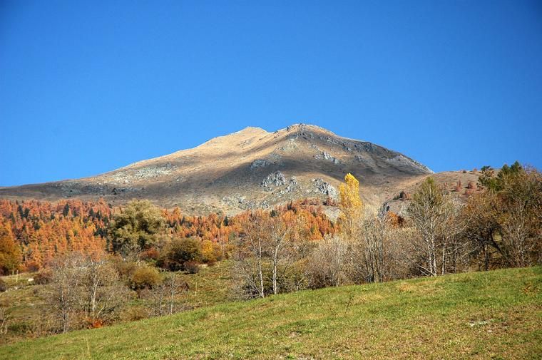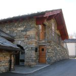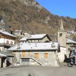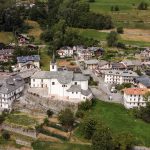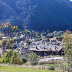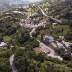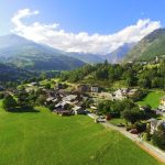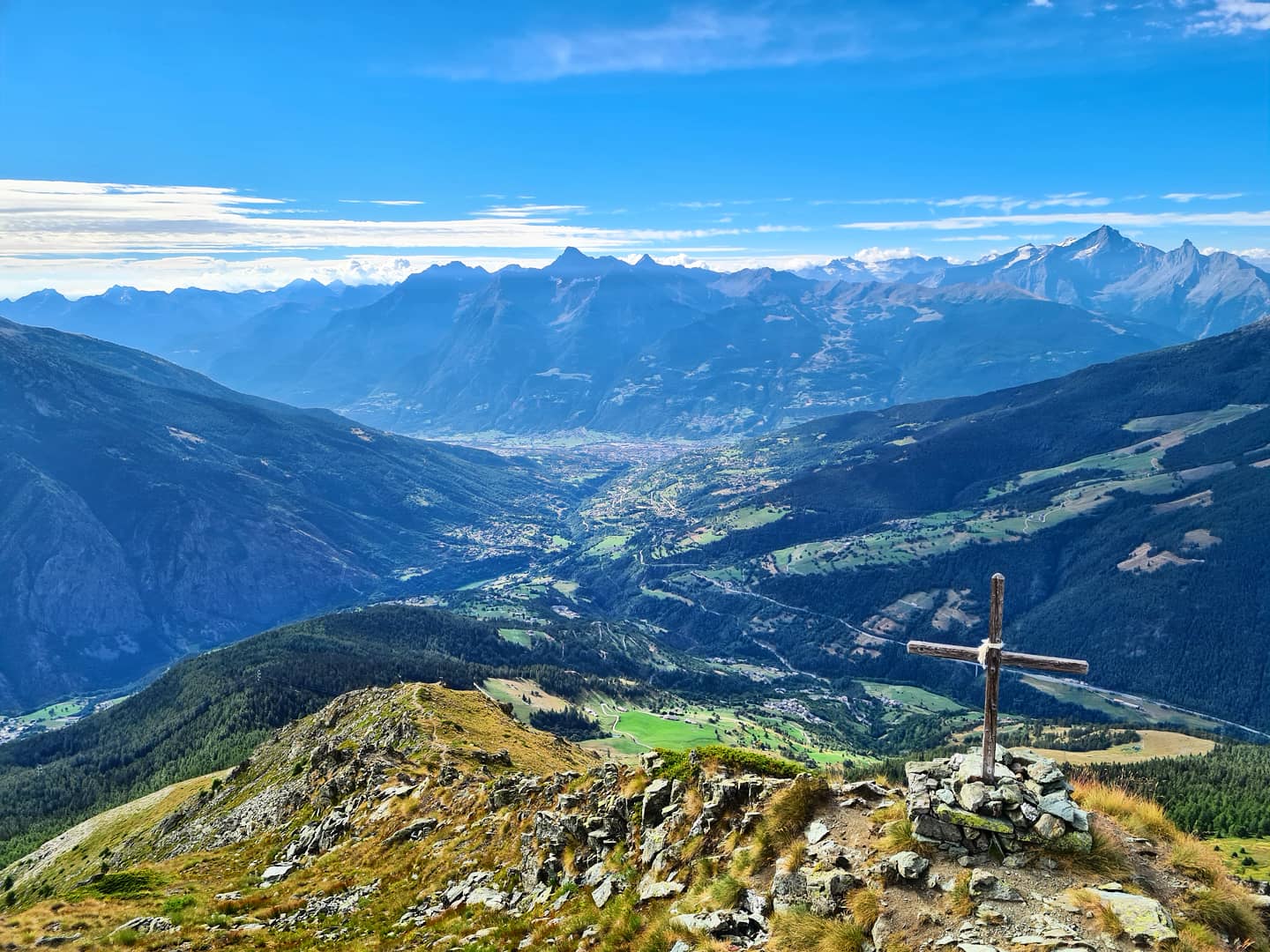
Allein - Mont Saron - Photo by Andrea Chasseur
Allein Mont Saron
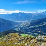
Mont Saron is a 2,681-meter-high mountain, and to reach the summit we recommend that you undertake the hike in close contact with the unspoiled nature of the Great St. Bernard Valley, starting right from the main town of Allein. In fact, from the center of Allein (1260 m.a.s.l.) starts the so-called “green trail,” which leads to the summit of Mont Saron in about 4h30 of walking in the heart of the forests that populate the side of this mountain. The beginning of the trail to be walked is No. 24 and is located in the main town behind the church. This path crosses pastures for about 45 minutes, leading to the next hamlet Ville, at 1405 m.a.s.l., where you will have to reach the chapel. Arriving at this point, descend to the former mill and from there ascend to Bruson (1479 m.a.s.l.). Walk approximately 1h50 through spruce and larch forests until you reach the Fontane pasture (1892 m.a.s.l.). Before continuing, remember that from here you can admire the Grivola and the Gran Nomenon. Then start climbing again, reaching another alpine pasture called Parc (2014 m.a.s.l.) and then continue further, quickly conquering the alpine meadow. Arriving at this stage of the trail, begin the climb up the steep western ridge of Mont Saron until you reach the ridge. Once on the ridge, continue in the direction of the summit, marked by the presence of a wooden cross. The view from the top of the Mount is breathtaking and repays any effort made to conquer it. From the tip of Mont Saron (2681 m.a.s.l.) it is possible to catch a glimpse of the Great St. Bernard valley and the crest of the surrounding mountains.

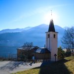
Parish Church of St. Stephen
Chiesa parrocchiale di Santo Stefano, Frazione le Plan de Clavel, Allein, AO, Italia

