Valpelline pointe de Chaligne
An exciting hiking experience
Conquering Punta Chaligne: An Excursion Between Nature and Panoramas
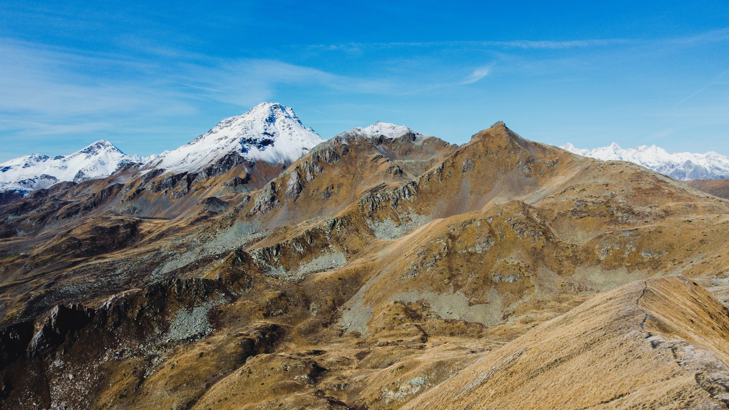
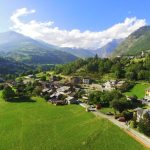
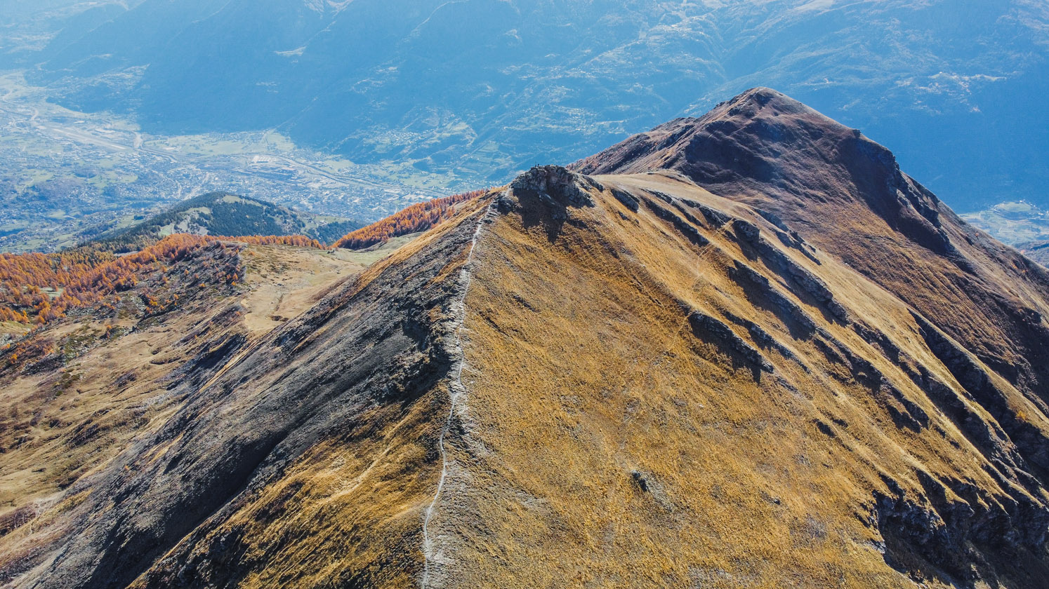
In the heart of the Aosta Valley, the route to Punta Chaligne proves to be an exciting hiking experience, capable of offering nature lovers unforgettable panoramas and moments of pure contact with the Alpine environment. Starting from Buthier Gorrey, at 1375 meters above sea level, this route winds through varied and exciting landscapes, leading travelers to the summit at 2607 meters, where the sky seems to touch the earth. The Route
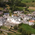
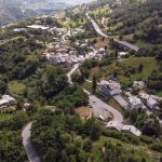
From the state highway to the Great St. Bernard Pass, you leave your car in the forecourt of Buthier Gorrey to embark on the itinerary that, right from the first steps, promises an adventure-filled day. Crossing the hamlet Clemencey, the trail meets trail markers 3 and 3A, guiding hikers through climbs that gradually prove more challenging but always rich in satisfaction. Climbing to the Mendey Alp at 1547 meters, the trail enters a dense forest, where the sound of footsteps mixes with the rustle of leaves and the song of birds. Leaving the farm road to Alpe Chez-Tognette, follow trail No. 3, which, flanking the Grangette pastures, leads to a crossroads at about 1715 meters. Here, you take the right-hand branch, skirting the Meriau Damon Alp at 1740 meters, then climbing to the Collet Alp at 1919 meters. The Final Tract
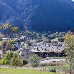
Leaving the forest track, the trail makes its way through the forest until it reaches the farm road to Alpe Tza de Chaligne. After a short stretch on the road, take the path again on the right that soon leaves the forest behind, opening up to alpine landscapes of rare beauty. The ascent continues toward the Cresta Tardiva, guided by the sight of a repeater that seems to watch over the path.

