Ayas Vallone Cime Bianche
An itinerary for hiking enthusiasts
The ascent to the Upper Col of the Cime Bianche is a rather classic walk in Val d’Ayas for those who like to walk hard. The route, in fact, does not present great difficulty but is reserved for good walkers because of its length: between ascent and descent it covers more than 18 km for about 4h30 and for an elevation gain, not excessive, of about 1300 meters from St.-Jacques.
The start of this route, and many other climbs, is in St.-Jacques.
From the village square continue uphill following the road, pass the Fior di Roccia bar and proceed right at the fork in the middle of which is a small chapel.
From here go up a short section of stepped path along the stream and reach a T-junction, continuing right over the wooden bridge.
After the bridge, near which you will find trail markers 6,7 and 8, you have to face the first paved ascent that ends giving way to the forest.
Take it easy because the tracks are very clear ( it is probably one of the most popular trails in the valley!).
After 20 minutes you reach the first yellow signs and follow trail no.
6, which immediately meets the hamlet of Fiery, which you cross taking in the back buildings and the former Bella Vista hotel.
You meet a plaque on a rock and proceed left following the signs.
Do not worry because The path on the ground is obvious!
You must then cross a bridge after which the trail begins to climb (No. 6) encountering a fence that cuts the path.
A very few minutes later you meet a marker on a rock with trail #6 indicated as much to the right as straight ahead: in this case, proceed straight ahead.
Immediately afterwards, leave out the faded 8e sign on a rock to the left, always following the main trail also indicated by a brown sign.
The trail passes to the right of two remains of Alpe Ventina buildings and then continues uphill.
You pass a small stream and come to a flatter area where you reach a large boulder on which are painted signs for the City of Mariano Bivouac.
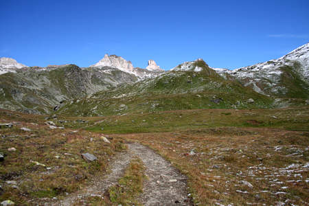
However, for the Cime Bianche one must continue to follow trail 6 thus coming in sight of the peaks that characterize the high valley.
We can observe from the left Pointe Sud (2973), Bec Carrè (3003) and Gran Sommetta (3166).
The Upper Col, the destination of this hike, is the vast depression to the right of the Gran Sommetta
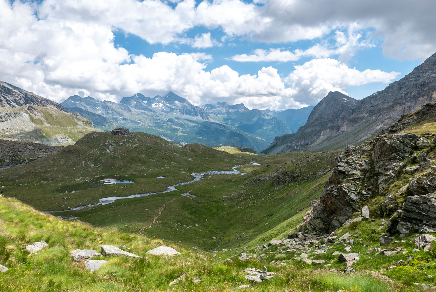
You pass to the left of the remains of Alpe Varda and then descend slightly into a wetland area, where you are very likely to find muddy or swampy ground.
You take to the right of the stream and continue the walk on this side.
You cross a new marshy area that reaches the Mase Alp.
Leaving the alpine pasture on your right, you climb to the left until you meet a stream, which you cross, thus reaching the meadow above.
The trail climbs again indicated by TMR markers, and comes to a new plateau that you cross continuing to climb along the slope in front of you.
At the end of the climb we cross another plateau; a little further on we meet a little stone cairn with a fork: we always follow the usual number, 6!
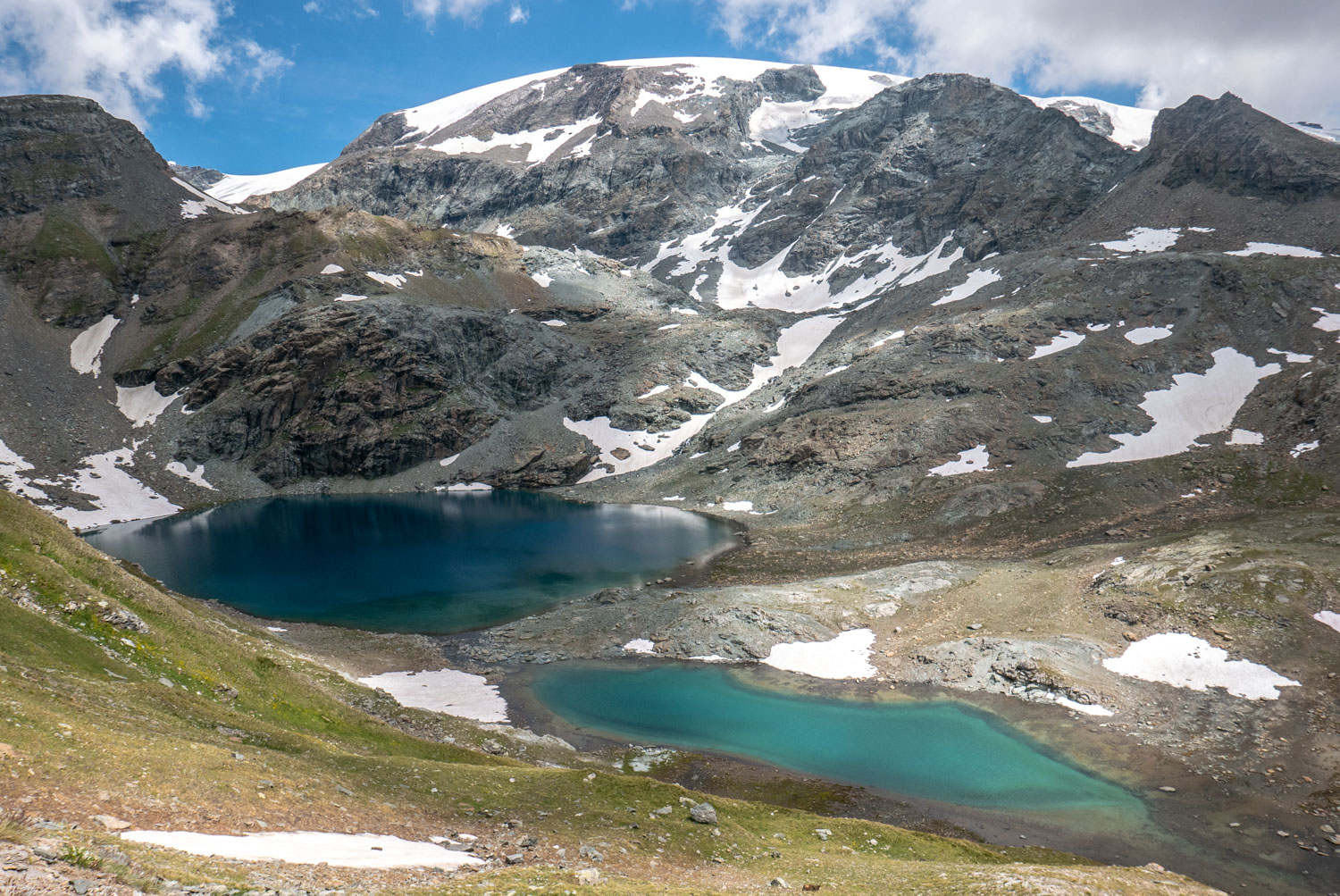
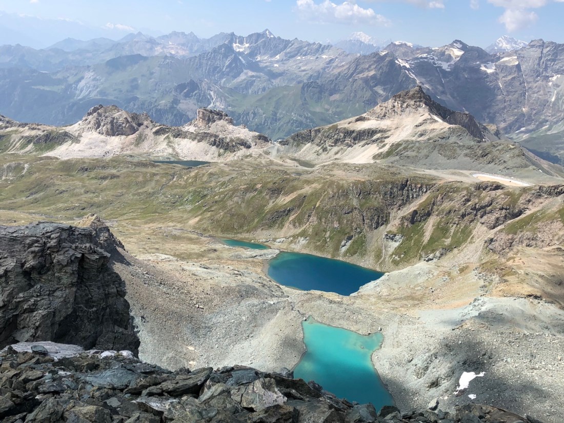
Next, a new ford is encountered followed by a gentle ascent with obvious path, stone cairns and yellow signs, and we reach the shores of the south basin of the Great White Peaks Lake.
The trail then becomes flatter and finally comes out at the Upper Col of the White Peaks!
Enjoy a well-deserved break while admiring the breathtaking view of the Matterhorn!

Quintino Sella Refuge at Felik
Rifugio Quintino Sella al Felik, Ghiacciaio del Felik, Valle di Gressoney, AO, Italia

Grand Tournalin Refuge
Rifugio Grand Tournalin - Valle d'Aosta,, Loc. Tournalin Damon, 11020 Ayas Aosta Valley, Italia

Mascognaz Falls and the Village of the same name.
Cascata Mascognaz, Rue l'Ostorion, Champoluc, AO, Italia


