
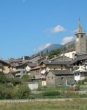
Comune di Antey
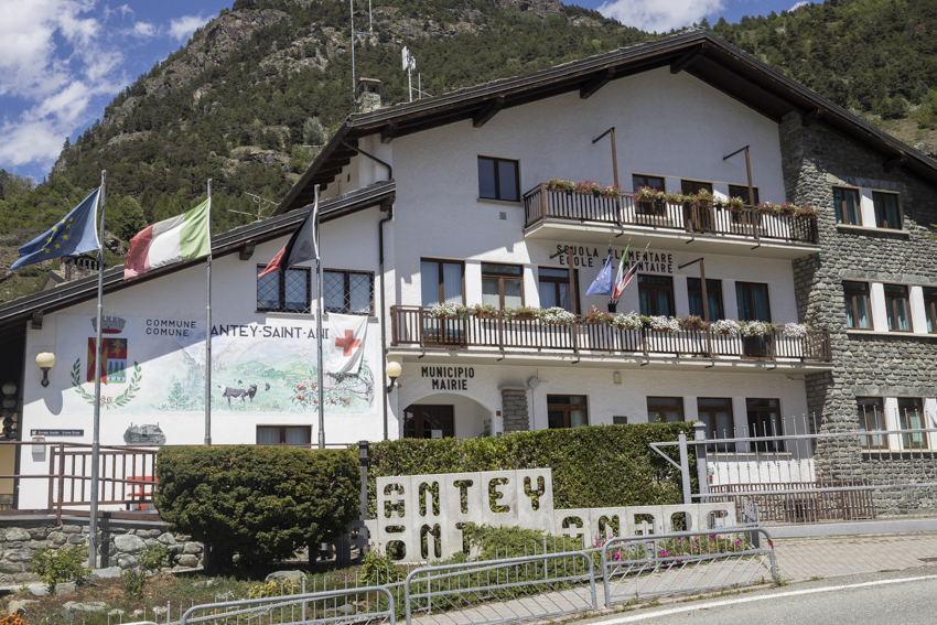
Unité des Communes Mont-Cervin Antey-Saint-André
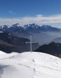
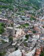
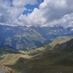
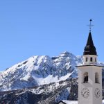
the entrance to Valtournenche
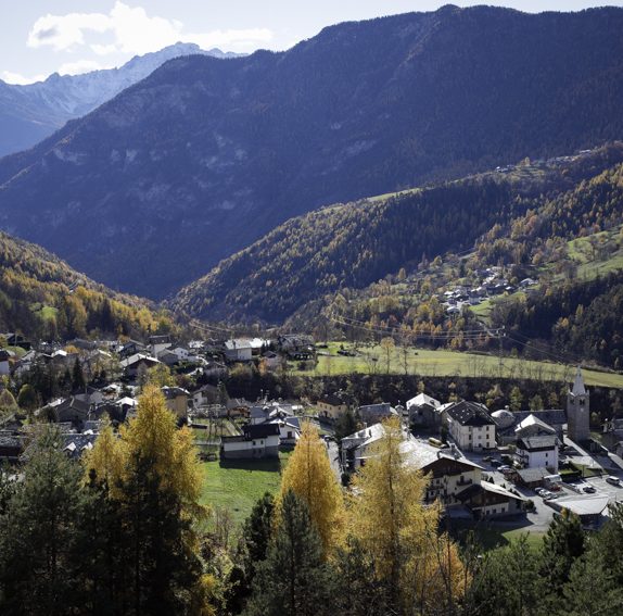
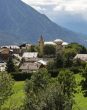
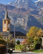
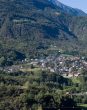
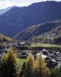
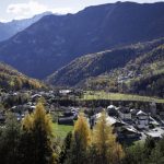
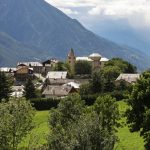
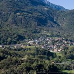
Antey-Saint-André is an urban center of 557 inhabitants and is the first municipality located at the entrance to Valtournenche, a side valley of the Aosta Valley best known for the presence of the majestic Matterhorn, wedged between the valley walls.
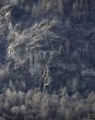
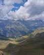
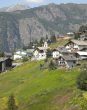
Located at 1,074 meters above sea level, about 33 kilometers from the capital of Aosta, Antey-Saint-André is set in a beautiful landscape consisting of vast meadows overlooked by coniferous forests.


Antey-Saint-André The History
Since prehistoric times, Valtournenche has been a valley of passage.
The remains of a Roman burial ground have been found in this area, thus testifying to human presence in the area since the Neolithic period.
Unfortunately, however, there are very few traces left by the Roman people.
During the Middle Ages, we know that the undisputed protagonist of local history was the House of Challant, an aristocratic family from Valle d'Aosta that, on behalf of the Savoy family, had a strong influence on much of Valle d'Aosta, especially during the Middle Ages and Renaissance periods.
Here, the Challant family was represented by the branch of the Lords of Cly.
Having become part of the Kingdom of Italy, from 1939 to 1946, the village underwent the Italianization of its name, which was changed to "Antei Sant'Andrea."
In Antey-Saint-André and in general in Valtournenche operated the partisan brigade "Marmore," commanded by Celestino Perron, known by the battle name "Tito," which took place during the last phase of World War II.
Valtournenche was the scene of several guerrilla actions and heavy German reprisals against both the civilian population and resistance fighters.
In October 1944, several men lost their lives during a fierce reprisal, including the young partisan Giorgio Ravaz.
Whato do in Antey-Saint-André
What to do in Antey-Saint-André
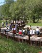
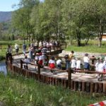
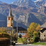
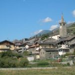
In Antey-Saint-André we recommend a free visit to the Ethnographic Museum “Once upon a time, the veillà in the barn” and to admire the wonderful ancient aqueduct “Ru du Pan Perdu,” probably dating back to the distant 1300s.
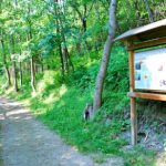
Antey-Saint-André offers several possibilities for recreation and learning: for example, to learn about plants and animals characteristic of the marshlands, we especially recommend the Coin nature.
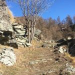
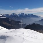
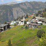
Among the many hikes to do in the area, it is worth mentioning the ascent to La Magdeleine, which can be reached by starting from Avout and following the carriage road to the Les Seingles mule track, which in turn starts from Nuarsaz and arrives at the Chamois plateau.
Please note that it is also possible to reach Chamois by cable car from Buisson.
In addition, the village is an arrival base for paragliding flights.
Antey-Saint-André May 18, 2026
 9.82°
Expect a day of partly cloudy with rain
9.82°
Expect a day of partly cloudy with rain
 0°/0°
3°/3°
0°/0°
3°/3°
 5°/5°
5°/5°
 7°/7°
12°/12°
7°/7°
12°/12°


Unité des Communes Mont-Cervin
-
1
Verrayes
Verrayes, AO, Italia
Valtournenche
Distanza da Aosta 48.8 Km
Torgnon
Distanza da Aosta 55.4 Km

Saint-Vincent
Distanza da Aosta 23.5 Km
Saint-Denis
Distanza da Aosta 23.5 Km
Pontey
Distanza da Aosta 26.2 Km
La Magdeleine
Distanza da Aosta 43.7 Km
Châtillon
Distanza da Aosta 28.2 Km
Chambave
Distanza da Aosta 19.7 Km
Chamois
Distanza da Aosta 48 Km
Antey-Saint-André
Distanza da Aosta 36.1 Km